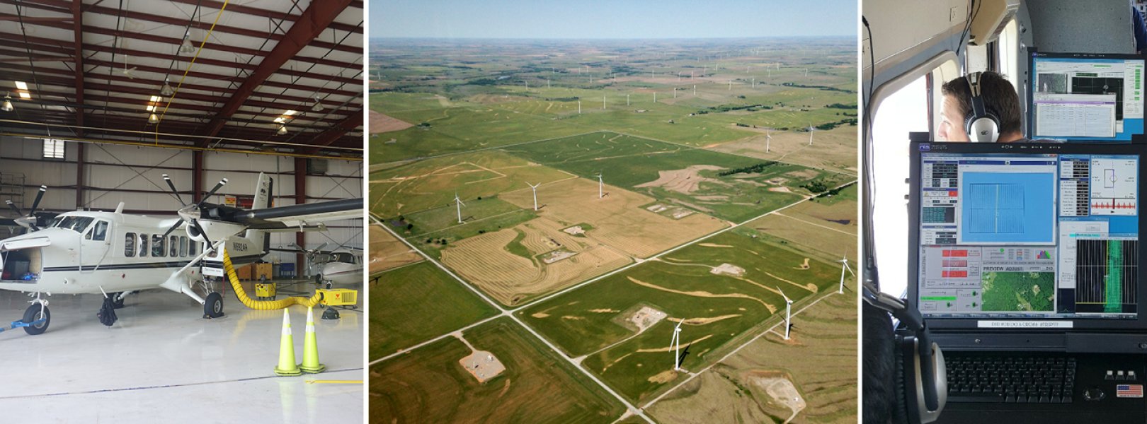
Airborne Remote Sensing

Airborne remote sensing surveys are conducted over NEON field sites during peak greenness and provide quantitative information on land cover and changes to ecological structure and chemistry, including the presence and effects of invasive species. The surveys are supported by the NEON Airborne Observation Platform (AOP), a synergistic collection of earth observation instruments installed into a light aircraft designed to collect high-resolution remote sensing data at low altitude. The intention of the AOP is to collect regional-scale landscape information at the NEON field sites. The AOP maps areas where NEON's observational and instrumented sampling is occurring and allows relationships to be drawn between NEON's detailed in-situ observations to the broader environmental and ecological conditions.
View the 2025 NEON AOP Flight Schedule
Payload Sensors
The AOP consists of three complete and comparable instrument payloads. Typically, two of the payloads are dedicated to collections of the NEON field sites while the third is dedicated to NEON's Research Support services which support externally driven research. The primary sensors on each payload include
1) A discrete and full-waveform lidar to provide three-dimensional structural information of the landscape,
2) An imaging spectrometer to allow discrimination of land cover types and chemical content of vegetation,
3) A high-resolution digital camera to provide spatially accurate and detailed contextual information, and
4) A GPS antenna and receiver and Inertial Measurement Unit (IMU) to provide high-accuracy positioning and orientation of the aircraft.
The sensors for each payload are calibrated and validated annually through a series of rigorous lab observations and in-flight testing and verification procedures. The AOP sensors are mounted in Twin Otter aircrafts which can accommodate the high volume and weight of the AOP sensors and fly at low altitudes and speeds. All sensors are rigidly co-mounted in the aircraft which provides high relative spatial consistency between observations from individual sensors. The sensor payload remains installed in the aircraft for the duration of the flight season which typically occurs between March and September to correspond to peak greenness across the continent. The AOP collects data at a subset of the NEON sites each year, surveying a flight box that is a minimum of 100 km2 around each site. The current year's schedule is typically released in January. Current and previous schedules can be found at the AOP Flight Schedules and Coverage page.
Data Products
The AOP produces 29 of the NEON data products. The products are separated into categories of Level 1, Level 2, and Level 3 (L1, L2, L3). L1 represents the least processed data products with additional processing steps undertaken to transition the L1 data to L2 and L3. Broadly, the L1 and L2 products are provided by individual aircraft flight line, while L3 products are provided in 1 km by 1 km tiles. Generally, the data volume for L1 products is the highest and decreases for L2 and L3 products. Details of the different products within each Level can be found in the individual webpages for each sensor. All AOP data products can be found on NEON's Data Portal.
Related Resources
- The NEON education team provides an array of tools for visualizing and working with the AOP data. You can learn more about these tools at NEON's data resources page.
- You can view or subscribe to our Daily Flight Reports (generated during the flight season).