Automated Instruments

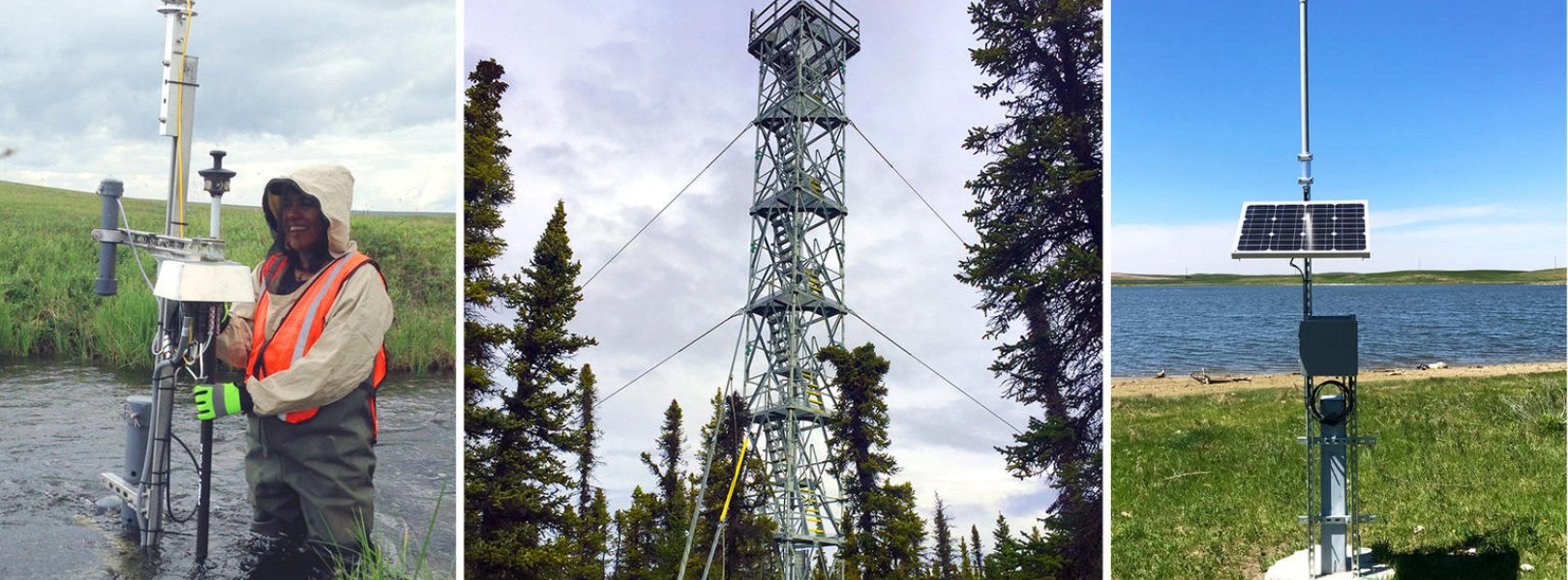
NEON deploys automated instruments to collect meteorological, soil, phenological, surface water, and groundwater data at NEON field sites. Combined with NEON’s observational sampling data and airborne remote sensing data surveys, these instrument data provide an unprecedented opportunity to study ecosystem-level change over time. Where logistically possible, NEON colocates aquatic sites with terrestrial sites to support understanding of linkages across atmospheric, terrestrial, and aquatic ecosystems.
Site Level Sampling Design
At each field site, NEON collects automated instrument measurements, remote sensing data, field observations and samples in close proximity to each other and at different temporal scales. Locations of instruments and observational sampling plots are strategically placed to maximize data capture to measure the representative ecosystem of each field site. These activities allow for the quantification of ecological parameters and the detection of multi-faceted ecosystem responses to drivers of change.
Collection Frequency
Data are collected continuously to capture patterns and cycles across various time periods, ranging from seconds to years. NEON calibrates and quality checks sensors to minimize measurement errors and maximize the quality of collected data. The data collected by automated instrument systems (IS) are standardized but the systems vary slightly by field site type. Collection frequencies vary by sensor and are summarized below for aquatic and terrestrial sites.
Instrumented Collection Types
At aquatic field sites, NEON deploys in situ sensor stations to collect surface water quality, temperature, and depth measurements, groundwater wells, a riparian meteorological station, precipitation gauges, and a phenocam. At terrestrial field sites, NEON deploys a micrometeorological tower, a soil sensor array, precipitation gauges, and phenocams.
Learn more about Instrumented Collection Types

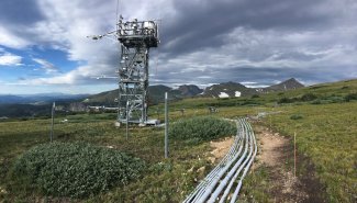
Flux tower at the NIWO field site
Accessing NEON’s Open Access IS Data
On the NEON data portal, instrument data are categorized into the following two systems: the Terrestrial Instrument System (TIS) and the Aquatic Instrument System (AIS). Please note that meteorological measurements collected in the riparian areas of aquatic field sites are designated as TIS data products. All data collection protocols and processing documents may be downloaded from the portal alongside the data products they are associated with. Data accessed through the data portal interface will be downloaded into a zipped folder by field site and month. Users may access data programmatically through the NEON Data API. NEON also curates a set of coding tools on GitHub that includes a tool to access data using R as well as a tool to “stack” or combine downloaded data files.
Using NEON Instrument Infrastructure for Research
In addition to providing open access data and archival samples, NEON infrastructure may be used for additional research activities. Please note that the requesting research team is responsible for covering NEON’s costs for implementing requests. Using NEON infrastructure includes four areas:
- Adding sensors to existing field site infrastructure
- Using NEON scientists to collect additional field observations at a field site
- Requesting a Mobile Deployment Platforms (MDP): These mobile sensor arrays may be deployed for short- to medium-term data collection projects and may be outfitted with meteorological, soil, and surface water sensors
- Requesting an airborne remote sensing survey