Observational Sampling

NEON field scientists collect a broad variety of observations and samples at terrestrial and aquatic field sites at regular intervals throughout the year. Combined with automated instrument measurements and airborne remote sensing data surveys, NEON’s observational data and archived samples provide an unprecedented opportunity to study ecosystem-level change over time. Where logistically possible, NEON colocated aquatic sites with terrestrial sites (21 in total) to support an understanding of linkages across atmospheric, terrestrial, and aquatic ecosystems.
The data and samples collected by NEON’s Aquatic Observation System (AOS) and Terrestrial Observation System (TOS) are designed to provide standardized, continentally distributed observations of organisms, biogeochemistry, and physical properties. However, there are some nuances to collection frequency and methods across field sites due to the fact that NEON must obtain research permits from field site hosts to conduct observational sampling. This relationship with site hosts results in instances where implementation of specific protocols or collection types is restricted. Visit any field site page to discover the specific list of observations collected at that site.
Sampling Design
All aquatic field sites are designed to use the full extent of the permitted reach or area for sampling and observations, encompassing organismal, community, morphological, and biogeochemical metrics and interactions. There are three types of aquatic sites: wadeable streams, lakes, and rivers. NEON aquatic observations are distributed across a 1 km reach (see site pages for deviations in 1 km length) in streams and rivers and across the entire basin in lakes. These observations occur in conjunction with aquatic instrumentation. At each terrestrial field site, a spatially-balanced sampling design is used to establish observational sampling plots that support site-wide characterization of organismal, community, and biogeochemical dynamics. There are two primary types of TOS plots: Distributed plots and Tower plots. Distributed plots capture site-level heterogeneity while Tower plots are established within and adjacent to the NEON tower footprint in order to detect linkages between observations and flux tower measurements.
Optimizing Sampling Design
The initial science designs implemented for the NEON Terrestrial Observation System (TOS) and Aquatic Observation System (AOS) data products were developed in collaboration with Technical Working Groups (TWGs) composed of community experts. The science design specifications were based on subject matter expertise informed by analyses of published datasets and NEON prototype data. Now that NEON has been fully operational for several years, there are opportunities to use available data to statistically evaluate the current implementation of TOS and AOS science designs and adjust accordingly. The analyses of NEON data products enable assessment of how well the implementation of the science designs meets Observatory goals. Moreover, the results of these analyses allow the NEON TOS and AOS teams to effectively prioritize sampling efforts when required by funding or logistical constraints. Many such analyses and resulting sampling modifications have been implemented (as detailed in data product user guides and issue logs), with additional analyses expected throughout NEON’s operations.
Sampling Schedules
The timing and frequency of aquatic and terrestrial observations vary depending on the measurement type. Processes that are expected to change quickly are sampled more frequently than those with slow rates of change. Historical data are used to establish target sampling windows linked to specific biophysical criteria, with flexibility for on-the-ground conditions in any given year.
Observation Types
Aquatic Observational Sampling
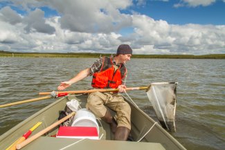
Aquatic observations characterize channel and lake morphology, organism abundance and diversity, biogeochemistry, seasonal climatic and hydrologic changes, and riparian phenology. These data complement aquatic sensor data that capture hydrologic conditions and surface water and groundwater quantity and quality, as well as local atmospheric conditions and airborne remote sensing survey data.

Field technician doing aquatic observational sampling at PRLA.
Terrestrial Observation Sampling
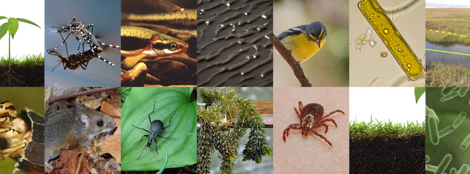
Terrestrial observations characterize plant phenology, diversity, biomass, and productivity, as well as the abundance, diversity, phenology, and (for some groups) pathogen status of organisms including birds, small mammals, ticks, mosquitoes, ground beetles, and soil microbes. Biogeochemical measurements are made on plants and soils, with sampling designed to complement airborne remote sensing and soil sensor data sets.
Field ecologists doing the Coarse Downed Wood protocol at SERC